Our new FCV vehicle are coming with built-in simulators built by GRL http://www.generalrobotics.co.uk/
which will allow input from external sensors, USBL systems etc. to allow the pilot to fly with an overview.
It has the capability to import in 3d structures and survey information for seabet topography etc.
Yes they do. I recently worked with along with Fugro on a system where the whole of the subsea installation was mapped out in 3D and we were able to fly the ROV over the whole installation in minimal visibility. Having said that, the accuracy is only good if the beacons have been laid accuratly.
At the moment we’re using SIMLA, a software package provided by our client Hydro for the development of the Ormen Lange field.
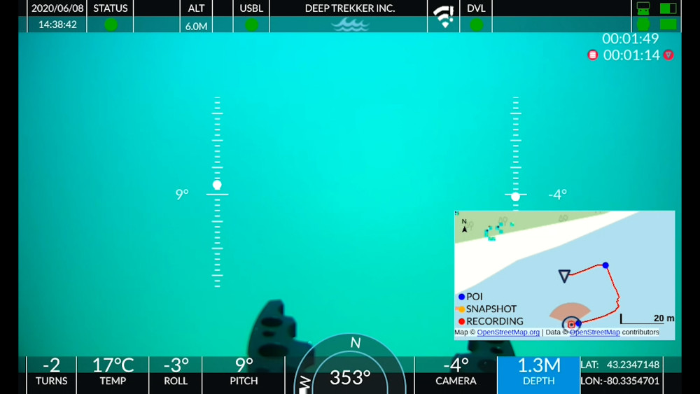
This program is a 3D presentation of the seabed and shows how our ROV moves a few meter above the seabed. We’re using it as an ‘obstacle avoidance sonar’.
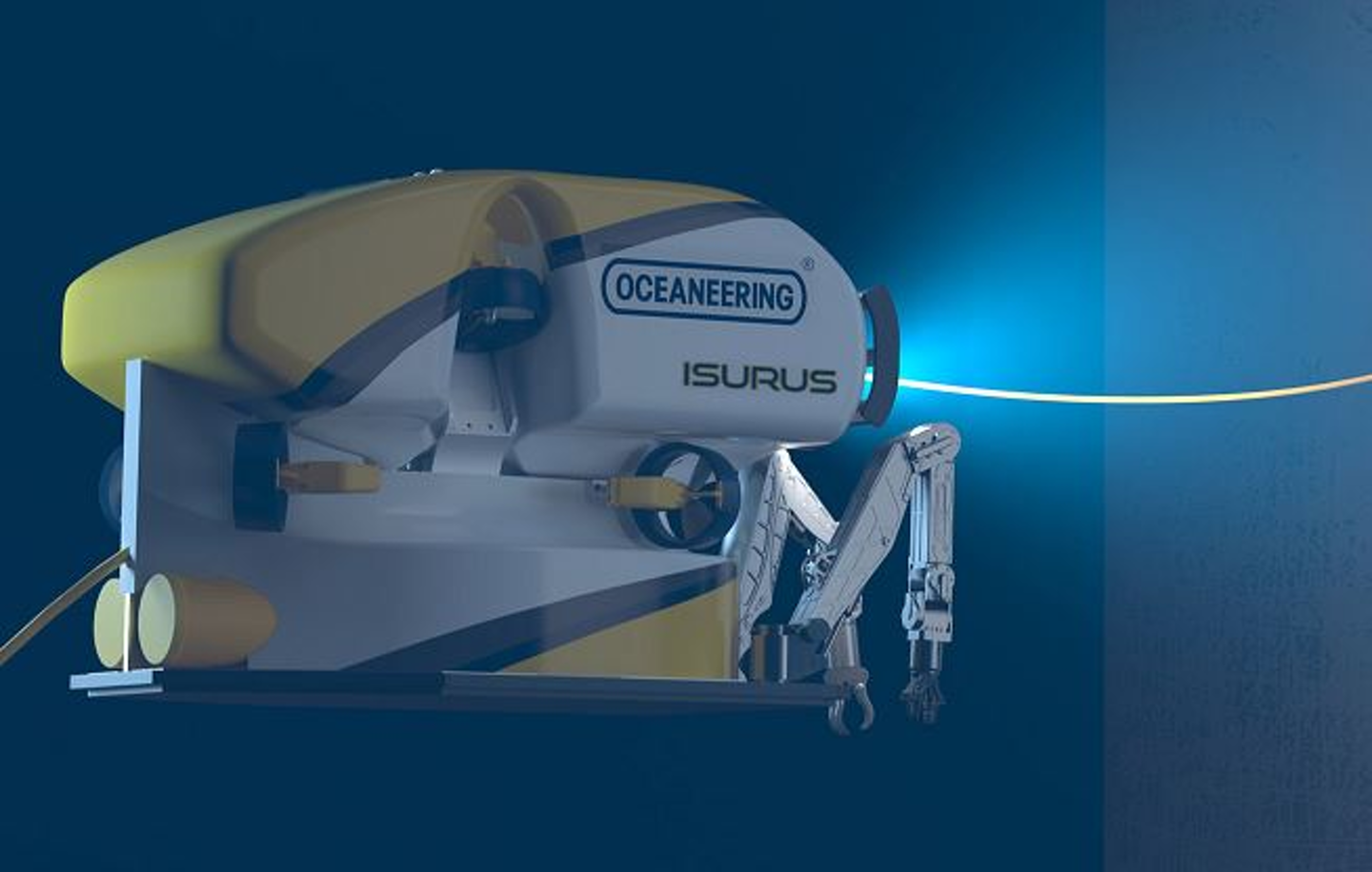
An another manufacturer of 3D visualisation software is Century Subsea, see below for a screenshot with a ROV from Canyon Offshore as it used by Nautilus Mineral Inc.
.